click to view more
The Mapping of a Russian War The Atlas of the Principality of Polatsk by Stanislaw Pacholowiecki
by [Niedźwiedź, Jakub, Lopatecki, Karol, Franczak, Grzegorz]
$183.32
Description
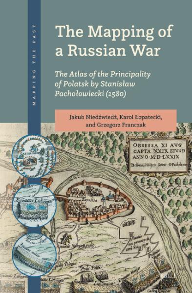
This volume is a comprehensive analysis of the Atlas of the Principality of Polatsk (1580), one of the oldest cartographic representations of the military conflict between Russia (Muscovy) and the Western world.
Its author, the Polish royal cartographer Stanislaw Pacholowiecki, drew the maps at the beginning of the Livonian War (1579-1582) when the Polish-Lithuanian army liberated the Lithuanian and Livonian lands from Muscovian occupation.
The Mapping of a Russian War focuses on the military aspects of the maps, their political and propaganda use, and the Early Modern construction of the past through maps.
The authors present an innovative approach to these maps, rarely examined by the international research community.
Last updated on
Product Details
- Brill Brand
- Jan 13, 2025 Pub Date:
- 9789004705586 ISBN-13:
- 9004705589 ISBN-10:
- 248.0 pages Hardcover
- English Language
- 2 lb Weight:

Money Back
Love it! Use it! Reuse it!

Free Shipping
Shipping is on us

Free Support
24/24 available
