click to view more
Plotting from Above: Enhancing Agricultural Mapping in Asia and the Pacific
by Plotting from Above: Enhancing Agricultural Mapping in Asia and the Pacific
$32.17
Description
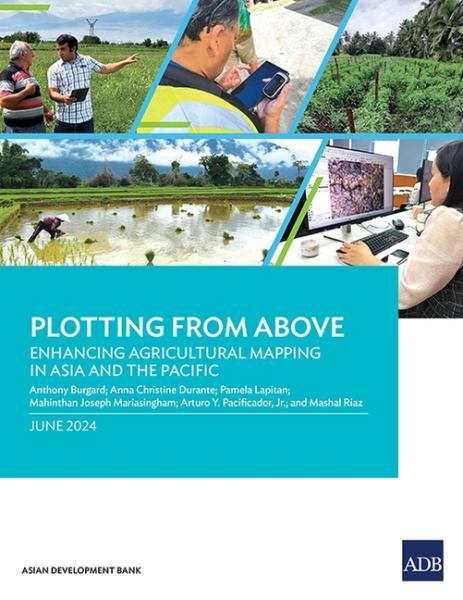
This report provides insights on how geospatial technologies can be used to develop methodological tools for measuring agricultural land more accurately and cost-efficiently in Asia and the Pacific.
Based on pilot application in Armenia, the Cook Islands, and the Lao People's Democratic Republic, the report outlines four methods to measure agricultural parcels using global positioning systems and assesses the benefits and limitations of each. It also explains some key considerations that statistics offices and line ministries need to consider to maximize how these technologies and tools can inform agricultural policy and planning.
Based on pilot application in Armenia, the Cook Islands, and the Lao People's Democratic Republic, the report outlines four methods to measure agricultural parcels using global positioning systems and assesses the benefits and limitations of each. It also explains some key considerations that statistics offices and line ministries need to consider to maximize how these technologies and tools can inform agricultural policy and planning.
Last updated on
Product Details
- Asian Development Bank Brand
- Mar 30, 2025 Pub Date:
- 9789292707743 ISBN-13:
- 9292707744 ISBN-10:
- English Language
- 11 in * 0.17 in * 8.5 in Dimensions:
- 0 lb Weight:

Money Back
Love it! Use it! Reuse it!

Free Shipping
Shipping is on us

Free Support
24/24 available
